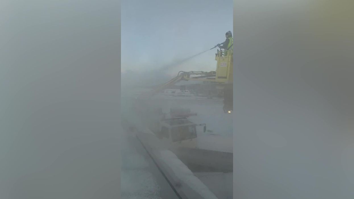
Temperatures have plunged below minus 10C (14F) in parts of the UK with further snow and ice warnings expected.
Travel disruption alerts have also been issued, with Manchester Airport forced to close both runways due to "heavy" snowfall.
In the early hours of Thursday morning (19 January), the airport turned to Twitter to announce the temporary closure, writing: "Following a period of heavy snowfall, we have temporarily closed both runways.
"Health and safety will always be our top priority and operations will resume at the earliest opportunity.
"Passengers are advised to contact their airline for the most up-to-date flight information."
Just a few hours later – before 9am – the airport informed passengers that "operations have resumed".
While it might seem like a drastic measure, staff are required to work within safety parameters.
When snow exceeds 3mm, they are required to close the runway for precaution as it can reduce braking efficiency for planes.
Manchester Airport's runways were chemically treated last night – but unfortunately, the snow continued to settle. Teams were on standby to have this removed, but additional flurries of snow slowed down the process.
The brief disruption soon spiralled online, with many people ripping into the cautionary measures.
However, despite experiencing just 50mm of snow, the small amount is still enough to cause disruption and the airport understandably will not compromise on safety.
Sign up for our free Indy100 weekly newsletter
One person hilariously said they've seen "thicker strips of Rizla paper," while another whipped out a tape measure to show how much snow there actually is – or lack of.
A third said they had seen more dusting in an episode of the Great British Bake Off.
The Met Office have also issued a string of yellow weather warnings for snow and ice after a major incident was declared in Somerset due to the risk of flooding.
The warnings covering northern and south-west Scotland, Northern Ireland and Wales suggest there may be "further wintry showers bringing disruption from ice and snow" while an ice warning is also in place for the south west of England.
They run until noon on Thursday in Wales and the north of Scotland while the ice warning lasts until 10am in England.
Met Office forecaster Marco Petagna told PA: "Parts of north-west Scotland still have 34cm of snow lying, elsewhere this is around 9cm, and in sites across Northern Ireland we’ve got 7cm, and in Wales as well.
"The main thing elsewhere is frost and ice, showers are focused towards the north and west of the UK, so elsewhere a frosty and icy, but dry start.
"Lighter winds in the south on Thursday, so it’s not going to feel quite as raw, even though temperatures are still cold, there will be less of a wind chill effect.
"Gradually it will turn less cold over the next few days, we hold onto it generally today and tomorrow, but into the weekend Atlantic air starts to come in, bringing temperatures up to double figures."
Have your say in our news democracy. Click the upvote icon at the top of the page to help raise this article through the indy100 rankings.


