The Conversation (0)
Atmospheric Rivers: What are they and how do they form?
Fox - Ktvu / VideoElephant
Long, meandering rivers are among the most beloved features of the Earth’s landscape.
But, look up to the sky, and it turns out they belong there, too.
Indeed, as many rivers wind their way through our atmosphere as they do down here on the ground.
The difference is, the sky streams are a lot harder to spot.
But, for years, scientists have been desperate to understand these atmospheric waterways, given that they often dictate where intense rain and snow will fall.
Climate change has made this task increasingly urgent, as our warming atmosphere soaks up more and more water, causing these aerial corridors to change course and making them harder to predict, as Science Alert notes.
A 3D View of an Atmospheric River from an Earth System Modelwww.youtube.com
Thankfully, a team of researchers at the University of California has combined different satellite data to make a map of these vast water vapour corridors.
Atmospheric scientist Weiming Ma and his colleagues created an approximate real-time 3D wind field by combining satellite records of spatial temperature distributions with NASA's satellite moisture detection.
Putting the two together revealed a global distribution of moisture-rich currents.
Until this point, researchers had simply relied on computer modelling to predict where aerial water vapour would likely flow.
But Ma and his team’s map showed that previous models had overestimated the frequency of rainfalls produced by atmospheric rivers, but underestimated their intensity.
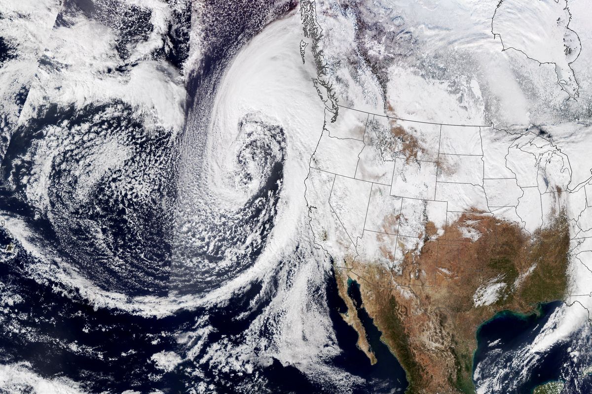 Atmospheric river storms pummelled California with strong winds and rain in January last year(NASA Earth Observatory)
Atmospheric rivers are responsible for up to 30 per cent of annual rain and snowfall in parts of Europe and the US and more than 40 per cent during East Asia's warm season, EOS reports.
Ranging in width from 400 to 600 kilometres (250 to 375 miles), they typically form over tropical oceans and are generated by winds associated with cyclones.
Powerful atmospheric river events can transport up to 15 times the average amount of water discharged daily by the Mississippi River, according to the US Geological Survey.
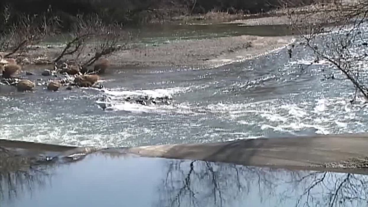
And when they make landfall, they can create serious weather hazards, such as extensive flooding, strong winds and massive snowfall.
Understanding atmospheric rivers and tracking their course in real time could prove vitally important over the coming months and years.
"As the quality of the satellite observations continues to improve, the methodology presented here can be applied to other satellite observations such as geostationary satellites to develop higher resolution or higher frequency atmospheric river statistics," Ma and his colleagues explain in a paper on their work.
In other words, hopefully, we’ll start to see more accurate weather forecasts soon.
Sign up for our free Indy100 weekly newsletter
Have your say in our news democracy. Click the upvote icon at the top of the page to help raise this article through the indy100 rankings
Top 100