













The Conversation (0)
Science & Tech
Krasheninnikov Volcano Erupts After 600 Years - Earthquake Sparks Tsunami Scare
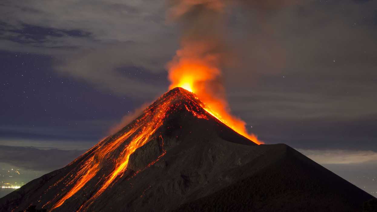
A US-India NASA satellite has captured brilliant images of a volcano erupting for the first time in almost 500 years, showing the spread of lava as it erupts, which has been turned into a time-lapse video.
On 30 July 2025, an 8.8 magnitude struck in the ocean off the Pacific coast of Russia's Kamchatka Peninsula. It jolted one of the two nearby volcanoes awake and two days later, for the first time since around 1550, Krasheninnikov erupted.
Ever since, there has been a steady flow of lava that has spilled out from the volcano and the NASA-ISRO Synthetic Aperture Radar (NISAR) mission has been tracking it, according to a NASA release.
The satellite first captured an image of Krasheninnikov on 25 December 2025 and has returned to the same spot in orbit twice every 12 days since, taking detailed radar snapshots.
17 of these images where put into a fascinating time-lapse video by researchers which can be viewed below.
- YouTube www.youtube.com
Matthew Pritchard, a member of the NISAR science team and geophysicist at Cornell University who analysed the data used to create the animation, said: "The consistency is crucial.
"Twice every 12 days, acquiring in this high-resolution mode and in two observation directions, this shows the promise of NISAR to closely monitor natural hazards.
"We’re seeing volcanoes around the world that we've never really had eyes on like this before."
The detail in a single NISAR image results from the use of synthetic aperture radar, or SAR, which is a specialised processing technique pioneered by NASA's Jet Propulsion Laboratory in Southern California for Earth observation from space.
As the satellite orbits, the radar sends thousands of microwave pulses per second to Earth and receives the return signals, each of which is effectively a snapshot in time that contains information about the properties and characteristics of the surface below.
The SAR processing combines the many images of the same area, sharpening the view just as a lens brings a blurry object into focus.
Each pixel in the individual frames of the Krasheninnikov time-lapse represents about a 30-foot-by-30-foot (10-metre-by-10-metre) square on the surface which is around half the size of a tennis court.
Lava shows up lighter in the images due to the way that microwaves reflect more brightly compared with the surrounding surface which, depending on the time of year, is either snow or bare ground.
In addition to the lava field growing to the east, the video shows another flow to the northwest, one that likely formed before NISAR captured the first image.
Elsewhere from Indy100:
How to join the Indy100's free WhatsApp channel
Sign up to our free Indy100 weekly newsletter
Have your say in our news democracy. Click the upvote icon at the top of the page to help raise this article through the Indy100 rankings.