The Conversation (0)
News
Most tourists stick to the tried and tested attractions of major cities. Those their guidebooks tell them to visit, or those that have been marketed best on the internet. But to find the truly great parts of a city perhaps its more prudent to follow the locals.
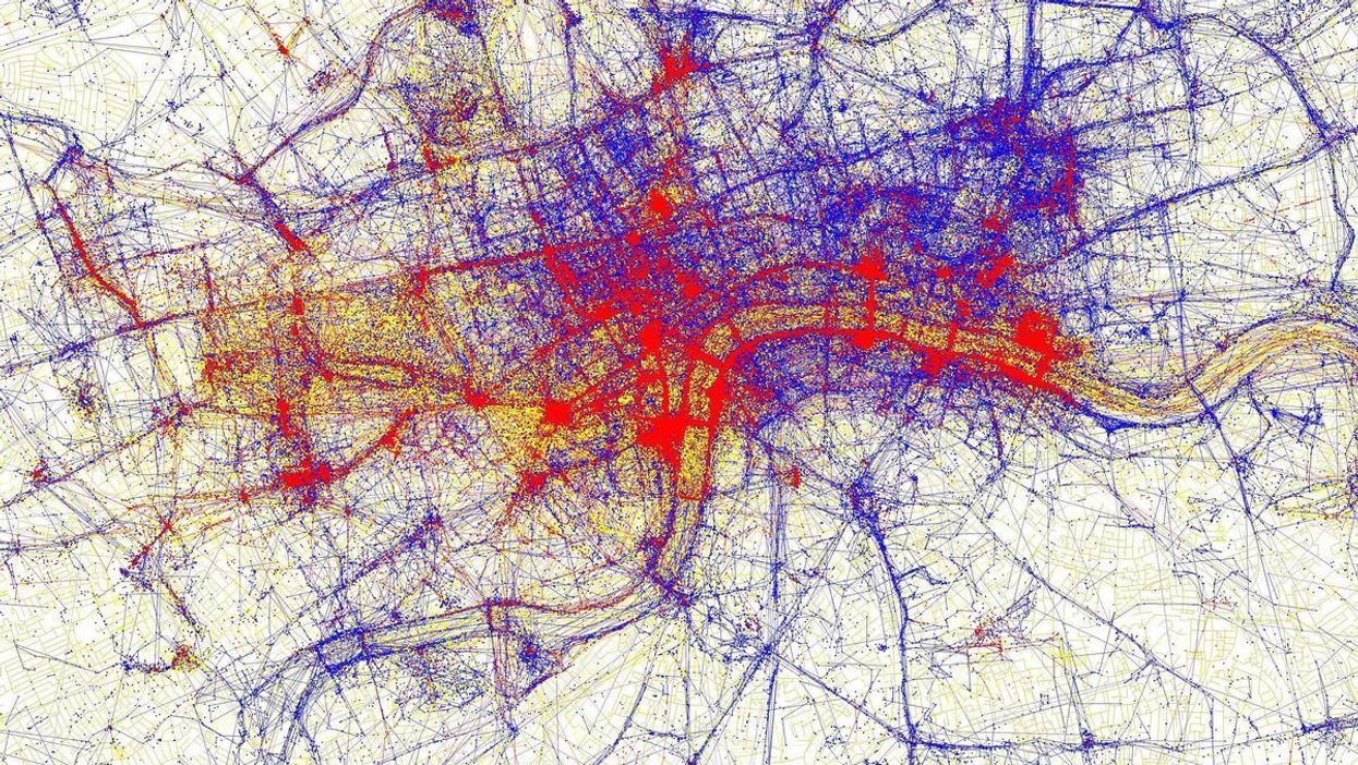
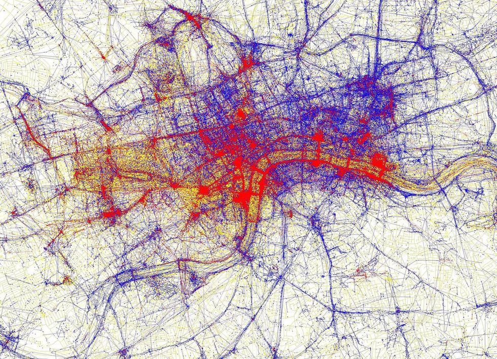
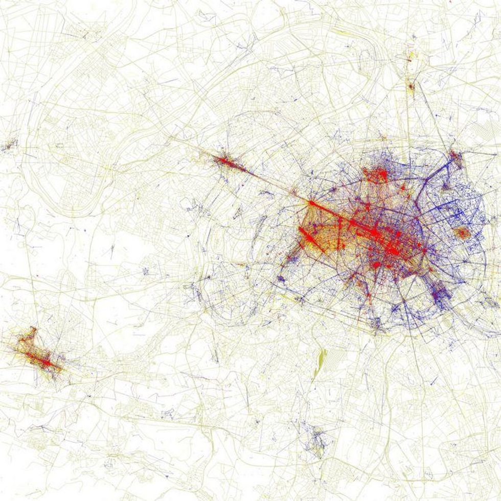
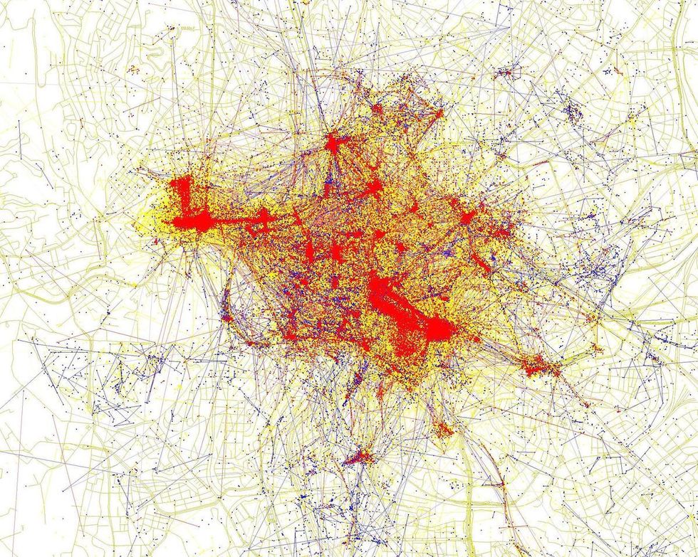
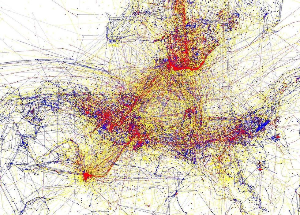
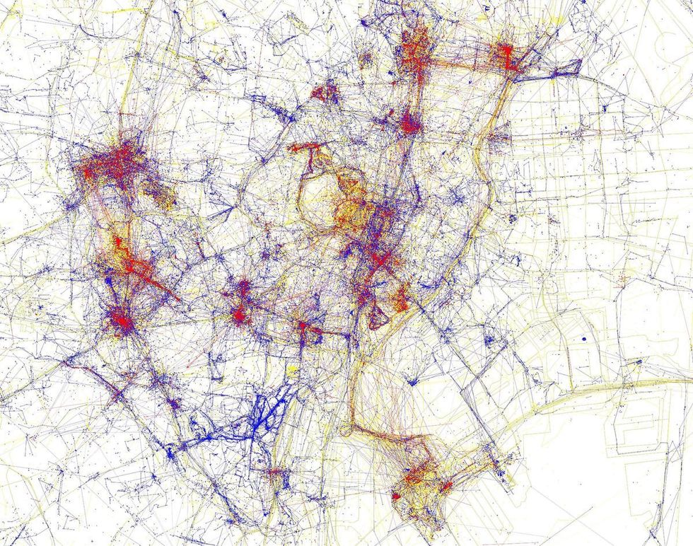
Data artist Eric Fischer has used geotagging information - location data attached to photographs and other digital media - to map where tourists and locals take photographs of cities around the world.
Areas marked red on the maps show the places where tourists take photos, blue designates locals and yellow is where it's too hard to determine which is which.
The differences in each of these major cities are quite interesting to observe.
You can see the full set of Fischer's photos on Flickr.
More: The stereotype map of Britain according to north Londoners
More: This map will change how you see the world
HT Huffington Post.