The Conversation (0)
News
When you think about immigration in the UK, the countries that spring to mind aren't France, Germany, Scotland and Ireland.
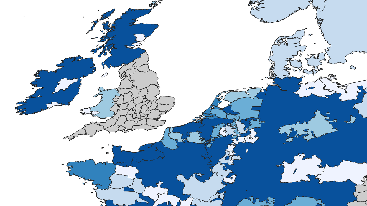
This map, made by englandsimmigrants.com, shows the number of immigrants moving to England from from 1330-1550.
The information comes from a variety of historical sources including taxation assessments, letters of denization and protection, and a variety of other licences and grants during a politically turbulent time in Europe.
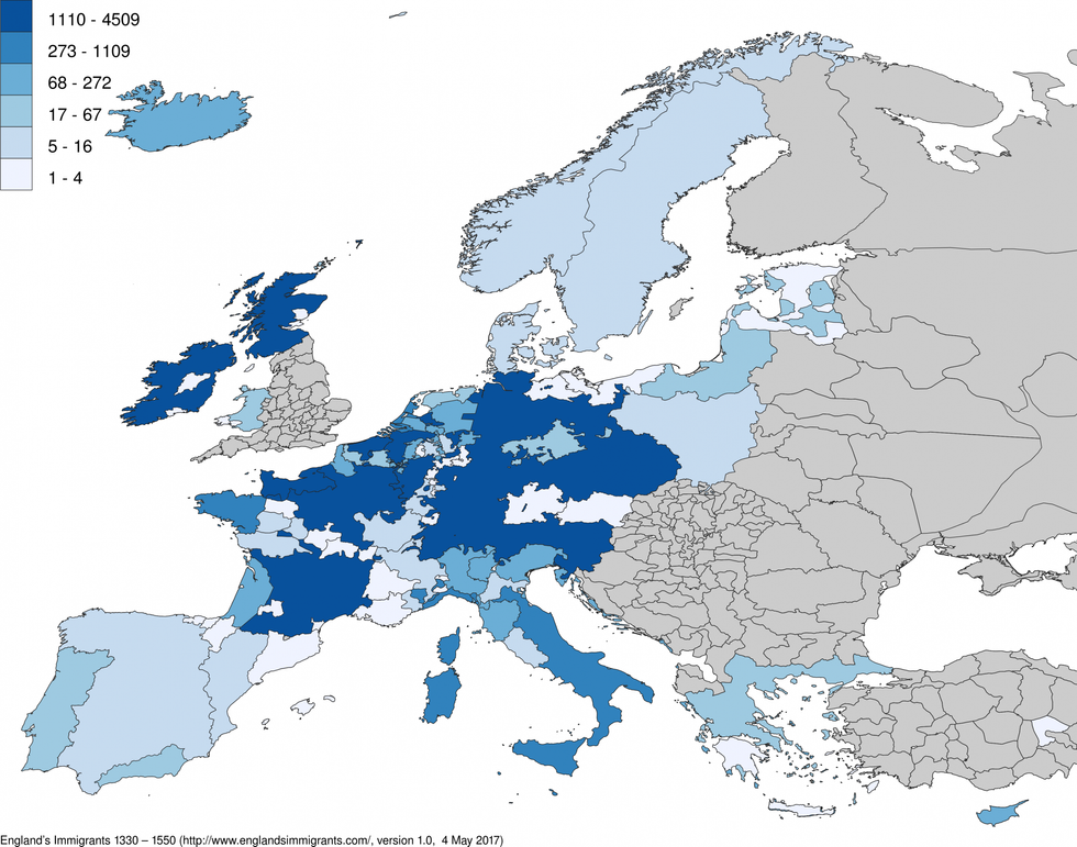 Picture: English immigrants
The majority of people came from France (4,565), followed by Scotland (3,355), Normandy (2,173), the Netherlands (2,163), and Irish (2,018).
To see more, head over to England's Immigrants - where you can see each the most immigration to each region in the UK and zoom in and find out the exact names and places of all the migrants.
More: These maps will change how you think about immigration