The Conversation (0)
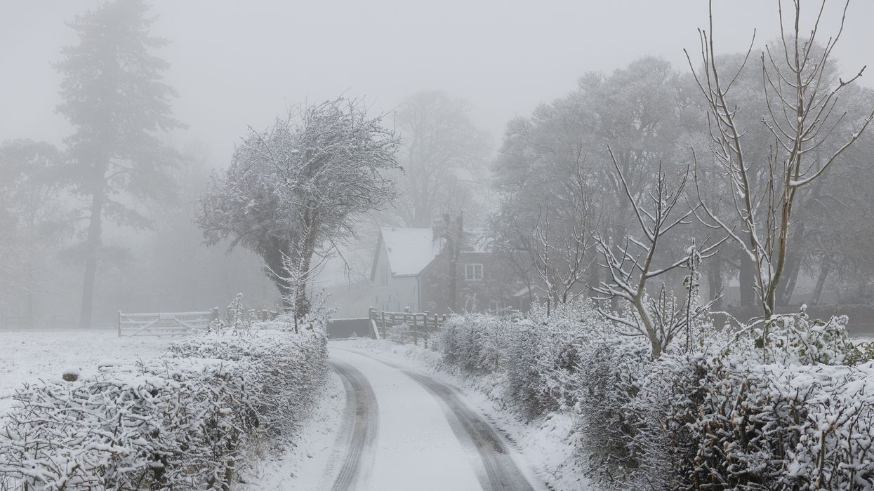
Snow covers roads on December 02, 2023 in the Kent Downs, United Kingdom. The UK Met Office have warned of snow, ice and freezing fog across the UK as temperatures plummet to -10c in some isolated places.
Photo by Dan Kitwood/Getty Images
Brits are set to feel the freeze as snow and ice are set to hit the UK, and The Met Office has issued two yellow weather warnings.
The blast of arctic air which has been described as a "snow bomb" is expected on Sunday, January 14 and Monday, January 15, with temperatures set to be below freezing.
Northern Ireland and the northern parts of Scotland are the areas that have received the yellow warnings from 3am until midnight on Monday, with travel disruptions expected.
A yellow warning for snow and ice has also been issued until 23:59 today for East Anglia.
"The Met Office said some roads and railways are likely to be affected, with some icy patches on untreated roads, pavements and cycle paths. It warned that there may also be some injuries from slips and falls on icy surfaces," Sky News reported.
In Scotland, there is also a small chance of power cuts and mobile phone coverage, may be affected too.
This chilly weather is anticipated to continue into the middle of the week, as the temperature is set to plummet as low as -5C in Scotland, with Fort William being the coldest region.
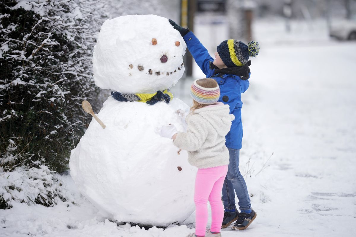 Children build a snowman after the first significant snowfall in Cheshire this Winter on December 10, 2022, in Northwich, United Kingdom. The UK Health Security Agency (UKHSA) issued a cold-weather alert that will run until Monday morning, as many across the UK struggle with home-heating costs. Photo by Christopher Furlong/Getty Images
While other areas will feel the cold too as the Met Office has predicted it will be around -3C in Edinburgh, -2C in Manchester, -1C in Belfast, and 0C in Birmingham.
"Further snow showers, perhaps merging into a longer spell of snow, are likely to cause further disruption on Tuesday," according to The Met Office.
Deputy chief meteorologist David Hayter from The Met Office told Sky News: “While the initial snow risk from Sunday onwards is looking more likely to be coastal areas in the north of the UK, including North Sea and Irish Sea coasts, there’s an ongoing likelihood of some disruptive snow through the middle to latter part of next week."
How to join the indy100's free WhatsApp channel
Sign up to our free Indy100 weekly newsletter
Have your say in our news democracy. Click the upvote icon at the top of the page to help raise this article through the indy100 rankings.
Top 100