The Conversation (0)
Science & Tech
The world’s biggest flood in history may have filled the entire Mediterranean around five million years ago, creating what we now know as the Mediterranean Sea.
Before the Med as we know it existed, it’s theorised that the area was a mostly dry and salt basin. But, just over five million years ago, water from the Atlantic Ocean somehow found its way through what is now the Strait of Gibraltar at mind-blowing speed.
According to the theory, the oceanic water flowed at such a speed it created a skyscraper-deep trench on its way, excavating out what became the Mediterranean Sea.
It is proposed that the salt basin was filled up in just a matter of years, possibly even months, and that the flood discharged around 1,000 times the amount of water in today’s Amazon River.
The theory was put forward in a 2009 study, which examined an underwater canyon along the Strait of Gibraltar that the author believed was carved out by the water at the time of the flood.
Though some in the field dispute the theory of the so-called Zanclean megaflood, if it is true, it would make it the largest ever flood recorded on planet Earth.
More recent work has been conducted to test this theory. Experts examined Zanclean era sedimentary rock and showed how it recorded how water flooding through the gap between Sicily and mainland Africa filled the eastern part of the Mediterranean Sea.
The discoveries are some of many that have been made by geologists ever since the 1970s, when they first drilled in the area.
They found a layer of salt kilometres thick below most of the sea floor, confirming for the first time that a major change had occurred millions of years ago when the tectonic plates shifted and isolated the area from the Atlantic.
Above the salt layer was sediment, which contained fossils from low-salt, connected shallow lakes that remained after much of the water had evaporated. The third layer above that contained what is more typical deep-sea sediment.
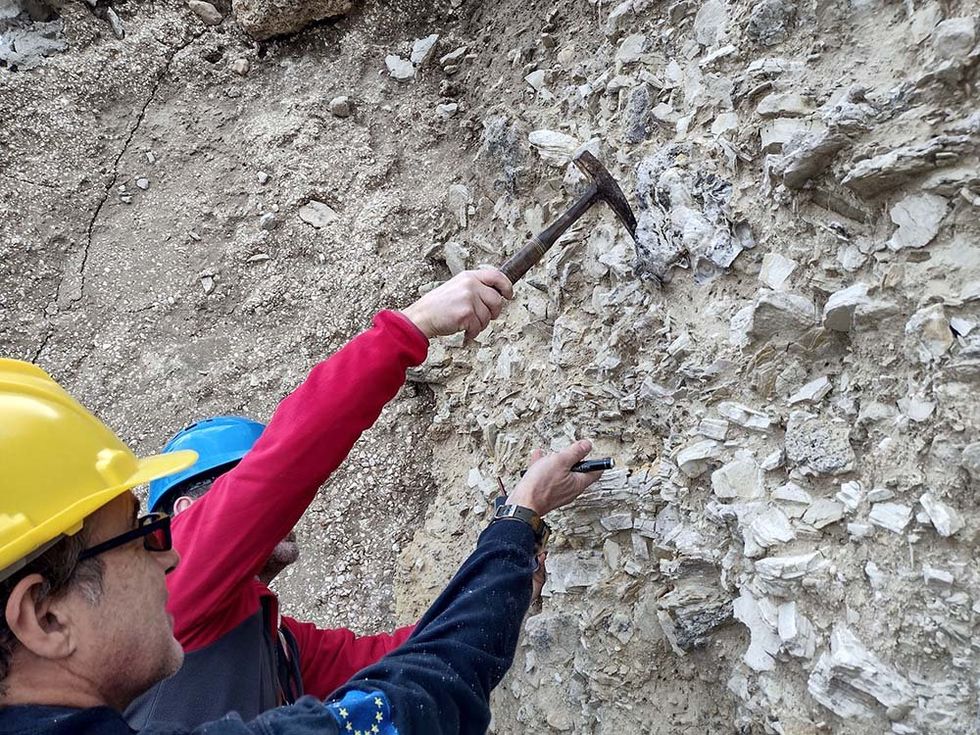
Latest research from a team led by the Maltese seabed scientist Aaron Micallef shows how rocks that would have been exposed to the megaflood contained depressions similar to those found in the rocks on the hills of Washington state in the US, which also experienced a megaflood.
 Daniel Garcia Castellanos
Their hypothesis that rock debris from a huge flood should be found at the top of the nearby hills was proven correct, as they located exactly what they were looking for.
“Sure enough, we did find jumbled and contorted rock debris up to boulder size along the crest of the hills. They were the same types of rock found within the depressions as well as further inland,” study co-authors Daniel García-Castellanos and Paul Carling wrote.
“To double check our work, we developed a computer simulation (or 'model') of how flood waters might have crossed one part of the Sicily Sill. It showed that the flood flow would indeed mimic the direction of the streamlined hills.”
Why not read…
A chunk of the Earth's crust is missing and scientists now know where
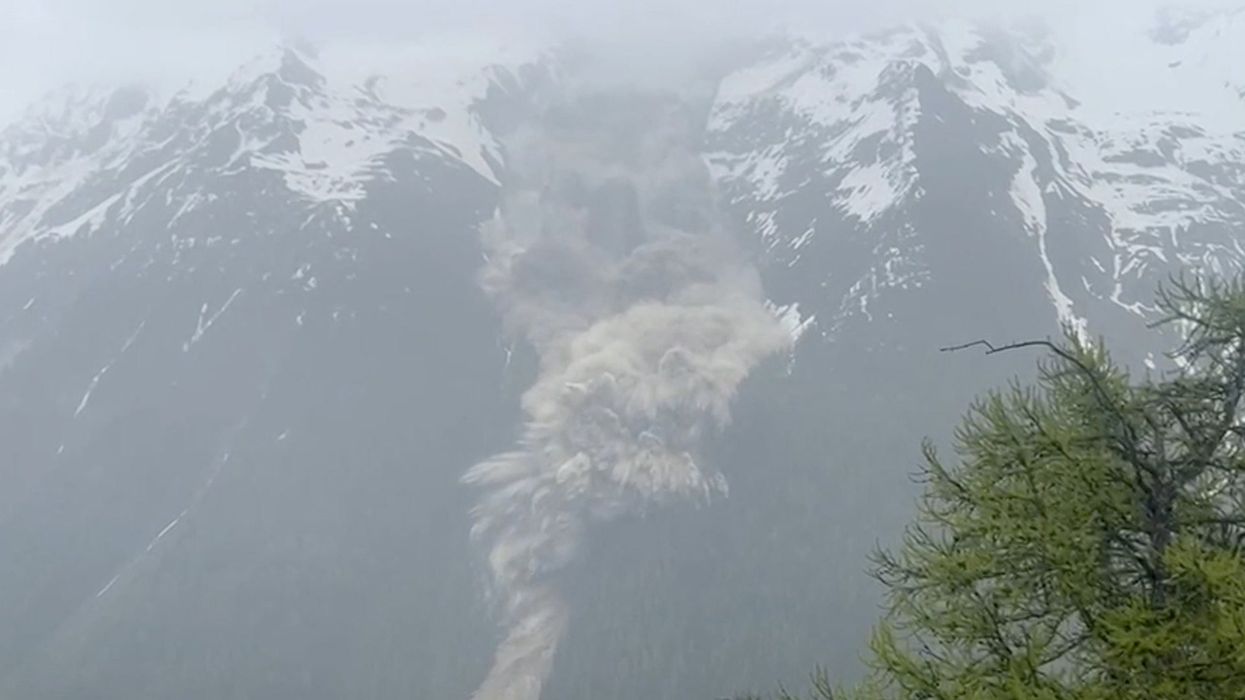
Watch moment tourists flee erupting Mount Etna
‘World’s oldest pyramid' was not made by humans, archaeologists claim
Sign up to our free indy100 weekly newsletter
Have your say in our news democracy. Click the upvote icon at the top of the page to help raise this article through the indy100 rankings