The Conversation (0)
Melting ice shelves in Antarctica have poured 66.9 trillion tonnes of fresh …
KameraOne - Short Cuts / VideoElephant
An ancient river landscape that dates back millions of years in Antarctica has been detected by scientists as buried under more than a mile of ice.
The discovery gives us an insight into a long-lost Antarctic world shaped by rivers and plants.
The new study is also key in helping scientists predict how the continent might respond to human-driven climate change in the future.
Antarctica is almost entirely covered by ice sheets, but millions of years ago, the continent was inhabited by dinosaurs and other animals, when it was part of a much warmer patch of the supercontinent Gondwana.
Even after the breakup of the supercontinent, Antarctica continued to be home to lush vegetation and tundra ecosystems, until eventually becoming mostly glaciated within the past 20 million years.
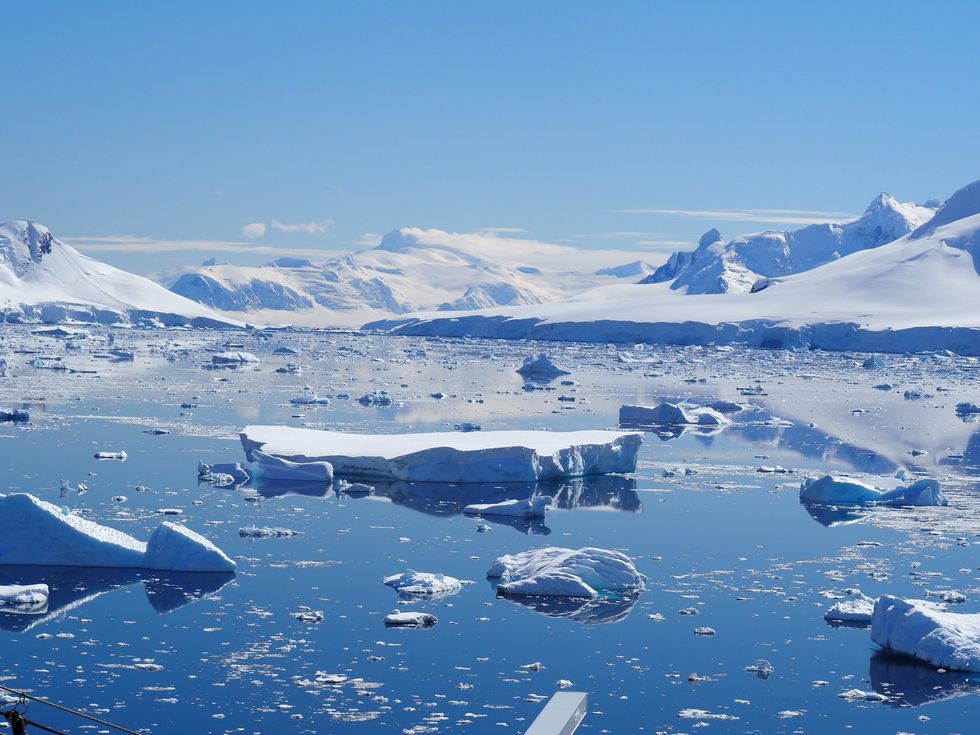 The icy landscapes of Antarctica iStockphoto by Getty Images
Scientists, led by Stewart Jamieson, a glaciologist at Durham University, have used satellite observations to peer under two kilometres (1.25 miles) of a region called the East Antarctic Ice Sheet (EAIS).
The team managed to detect "an extensive relic pre-glacial landscape preserved beneath the central EAIS despite millions of years of ice cover" which hints there are "other similar, as yet undiscovered, ancient landscapes beneath the EAIS."
In a call with VICE, Jamieson said: "We've had a longtime interest in, effectively, the shape of the land beneath the ice sheet in Antarctica, and in particular, how the shape of that landscape interacts with the ice itself in terms of controlling it, but also in terms of recording how it has behaved in the past, so that it leaves a signature, or a fingerprint."
"What we're trying to do is identify where we can really see an obvious picture in the land beneath the ice, and map it out," he continued. "
The East Antarctic Ice Sheet has existed for 34 million years. It's a very long-lived chunk of ice and we want to use the landscape to try and understand if we actually can see anything about the stability of the ice sheet."
Jamieson and his colleagues had to figure out how to gaze through this extremely thick and ancient slab of ice. So the team turned to data collected by the Canadian satellite constellation RADARSAT. Which can detect tiny anomalies in the surface of the ice that hint at the topography below.
Jamieson used this technique to fill in some of the missing gaps in survey observations taken in recent decades. The results revealed the remains of a bygone landscape roughly the size of Wales, which researchers believe to be more than 34 million years old.
“The implication is that this must be a very old landscape that was carved by rivers before the ice sheet itself grew,” Jamieson explained.
“That's why we can say that the landscape itself is likely older than 34 million years. That's a time when the climate was a bit warmer. There was vegetation and plants growing on Antarctica and there wasn't big-scale ice.”
Jamieson and his colleagues hope to extract more details about the terrain using remote-sensing methods so that they can reconstruct the evolution of the ice sheet over time. Because the EAIS is “known to be sensitive to past and potentially future climate and ocean warming,” this information could help scientists understand how this massive sheet might respond to human-driven climate change.
The study is published in Nature Communications.
Sign up to our free Indy100 weekly newsletter
Have your say in our news democracy. Click the upvote icon at the top of the page to help raise this article through the indy100 rankings.
How to join the indy100's free WhatsApp channel
Top 100