Science & Tech
Jake Brigstock
Nov 22, 2024
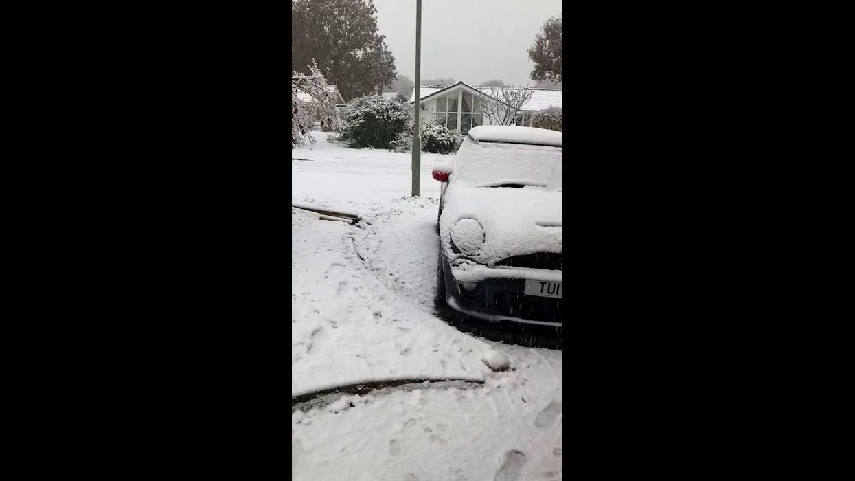
UK: Heavy Snowfall Causes Disruptions Across Devon
StringersHub - Vertical / VideoElephant
The Met Office has warned parts of the UK will need to be braced for more bad weather as Storm Bert is set to hit over the weekend.
Storm Bert is forecast to bring heavy rain, strong winds and disruptive snow to large parts of the UK, particularly in southern, western and northern parts of the country.
Most northern parts of England, from Nottingham upwards, and Scotland have a yellow warning of rain and snow for most of the day on Saturday (23 November) and into Sunday (24 November), with some areas in the Highlands just north of Perth having an amber weather warning in place through most of Saturday.
There's a yellow weather warning for wind across southern parts of England on Saturday afternoon with potentially dangerous coastal conditions and this is also in place on coastlines around north-western England and around Scotland.
A rain yellow warning is in place through the whole weekend for areas in the south-west and on Saturday and into Sunday morning for most of Wales.
Northern Ireland has a yellow weather warning of rain and snow through Saturday morning too.
Temperatures are expected to be milder.
Dan Holley, Met Office Deputy Chief Meteorologist, said: "Storm Bert marks a shift to much milder air and wintry hazards will gradually diminish through the weekend but heavy snowfall is expected across parts of northern England and Scotland for a time on Saturday, especially over higher ground, and warnings are in place.
"Heavy rain through Saturday and Sunday, especially in southern and western parts of the UK, will also bring impacts for some with a number of warnings in place.
"We expect 50-75 mm of rainfall quite widely within the warning areas but in excess of 100mm is possible over high ground in parts of Wales and southwest England.
"In addition, rapid melting of lying snow over the weekend and periods of strong winds are likely to exacerbate impacts and bring the potential for travel disruption, as well as flooding for some."
- YouTubewww.youtube.com
Alice Simpson, a spokesperson for RAC Breakdown, also gave advice to drivers who are planning to travel while these weather warnings are in place.
"The first taste of winter means drivers are suddenly contending with the some of the worst road conditions we’ve seen all year," she said.
"With freezing temperatures already causing disruption in the east and north of England, Wales, Scotland and Northern Ireland, and snow showers now affecting regions further south, we advise motorists to plan well as ice forms on untreated surfaces.
"Drivers should ensure their tyres have plenty of tread and are inflated to the correct pressure to give them the best possible grip on the road.
"It's best to stick to major roads, rather than rural areas where surfaces may not be gritted, reduce speeds and leave plenty of space behind the vehicle in front to ensure you have more time to stop.
"Everyone should travel prepared in case they find themselves broken down at the side of the road: a blanket, warm waterproof coat and gloves, sturdy footwear and a charging cable and mobile power bank are all essentials."
How to join the indy100's free WhatsApp channel
Sign up to our free indy100 weekly newsletter
Have your say in our news democracy. Click the upvote icon at the top of the page to help raise this article through the indy100 rankings.
Top 100
The Conversation (0)


